Imagery
ClearSky™
Patented, cloud-resilient satellite imagery. Every observation, whatever the weather.
About us
Earth observation has always been limited by what satellites can’t see. Our patented technology removes that limit, and our models turn a decade of observation into answers. The ambition: when anyone asks a question of the land, they ask Aspia.
Why Aspia
Optical satellites go blind under cloud. Our patented ClearSky™ models use radar to see through it, giving an optical-equivalent view of the ground about every three days, whatever the weather.
EarthPT, our large observation model, learns how the Earth’s surface behaves over time. It is built by applied scientists with Oxford and Cambridge doctorates in astrophysics and AI.
Every observation becomes an Aspia Land Token, measured against its own history. Customers get answers through our API, their GIS, or simply by asking the land a question.
What happens next
Aspia Space was founded in 2021 by astrophysicist Professor James Geach and James Palmer. The idea was simple: the methods used to study the distant universe could make sense of our own planet.
Satellites see the Earth every few days, but cloud, gaps and inconsistent processing make that data hard to use. Our patented ClearSky™ technology combines radar and optical observations to produce a gap-free record of the land, whatever the weather. We store every observation as an Aspia Land Token and measure it against ten years of history, so change becomes clear the moment it happens.
Our team of applied scientists, with doctorates from Oxford and Cambridge in astrophysics and artificial intelligence, builds the models behind it, including EarthPT, our large observation model of the Earth’s surface.
Today we work with organisations across agriculture, insurance, water, biodiversity and defence, in the UK and Southern Africa. Our goal is to become the Earth’s context for AI: trusted, observed evidence that any person, platform or AI agent can reason over.
What we’ve built
Imagery
Patented, cloud-resilient satellite imagery. Every observation, whatever the weather.
AI model
Our large observation model, trained to understand how the Earth’s surface behaves over time.
Data standard
A snapshot of one small hexagon of land on one date, stackable from a single parcel to a nation.
Analytics
A ten-year baseline for every parcel, with indices that show when performance departs from normal.
The team
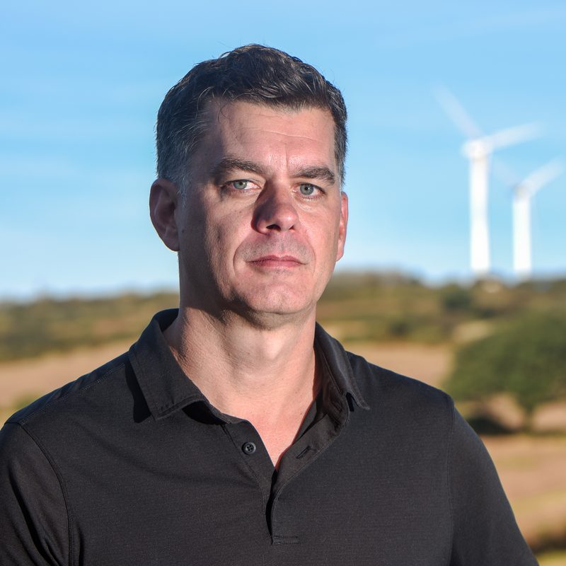
Co-founded Aspia in 2021 and leads its scientific vision, bringing astrophysics to Earth Observation. PhD Astrophysics (Durham). Royal Society and Banting Fellow. Co-inventor of ClearSky.
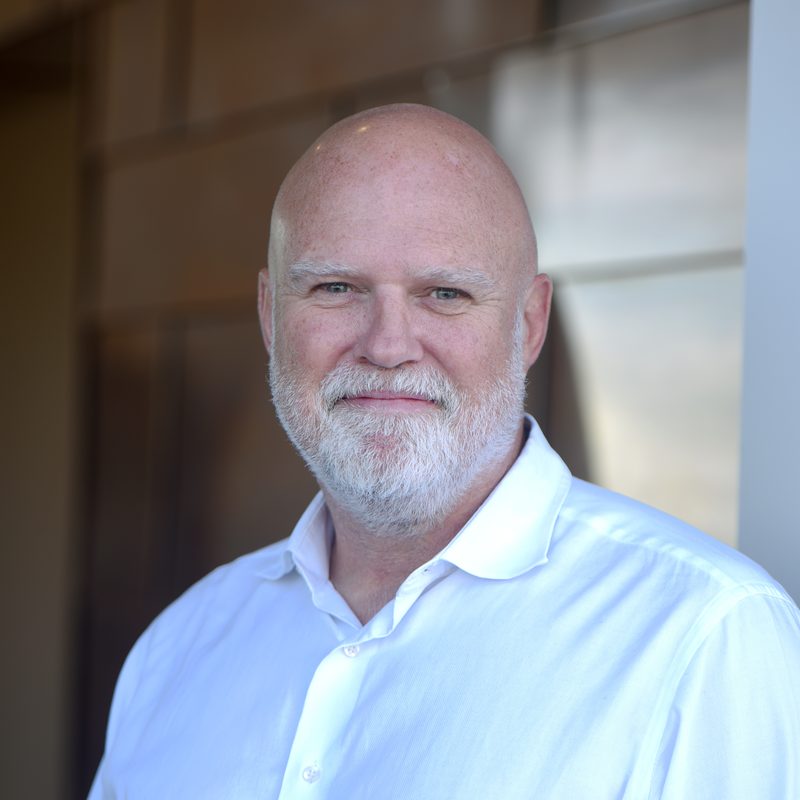
25 years in global markets. Managing Director at HSBC (Co-Head Institutional Client Coverage) and Credit Suisse. Co-founded Aspia in 2021.
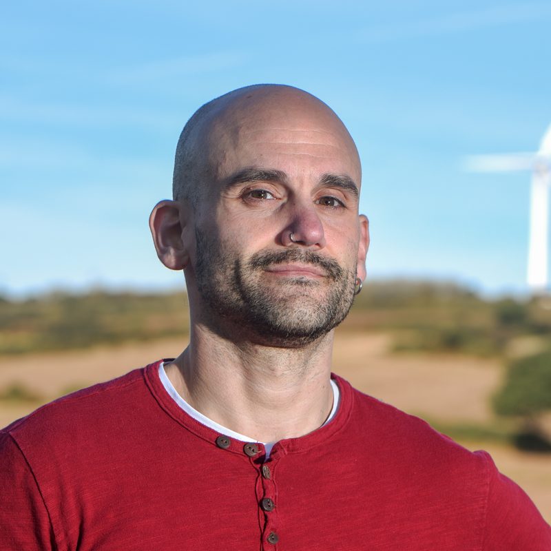
PhD Computer Science (Sheffield). Former Oxford Senior Research Fellow in ML for EO. ML Lead at NASA Frontier Development Lab.
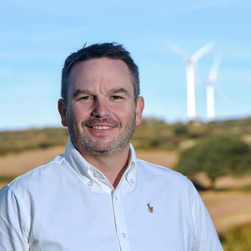
Ten years as an RAF Imagery Intelligence Analyst. 15 years in digital transformation, rising to Consulting Partner at MSQ Partners.
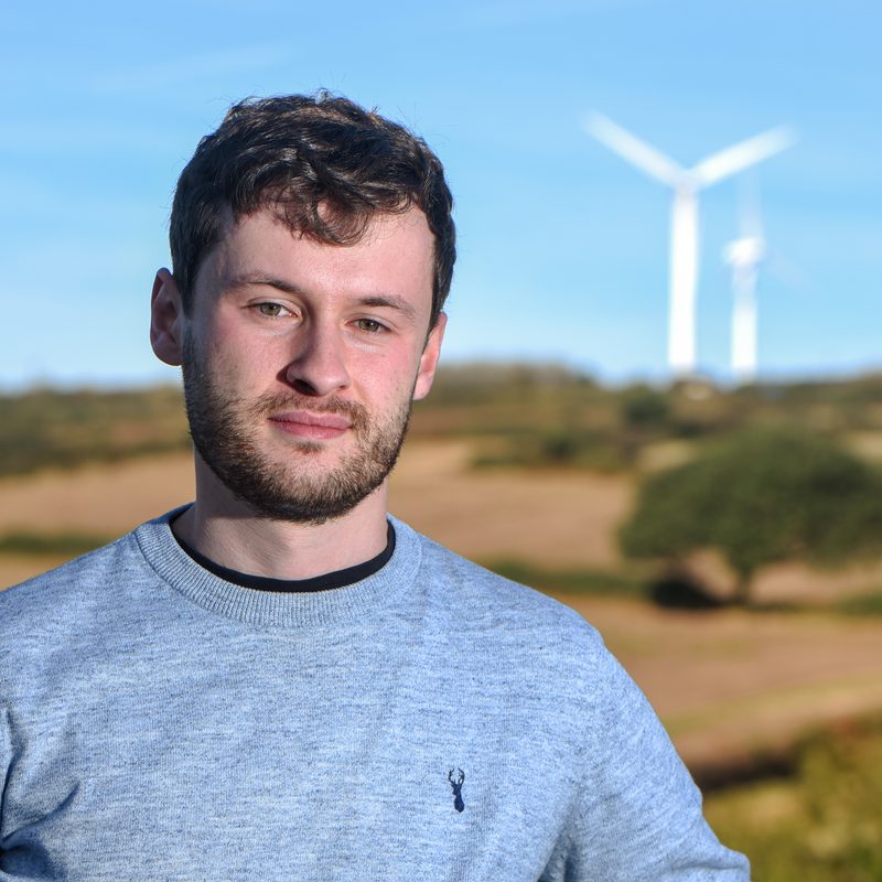
PhD Remote Sensing and ML (Cambridge). Ecosystem-mapping benchmarks, self-supervised forestry models and EO foundation models.
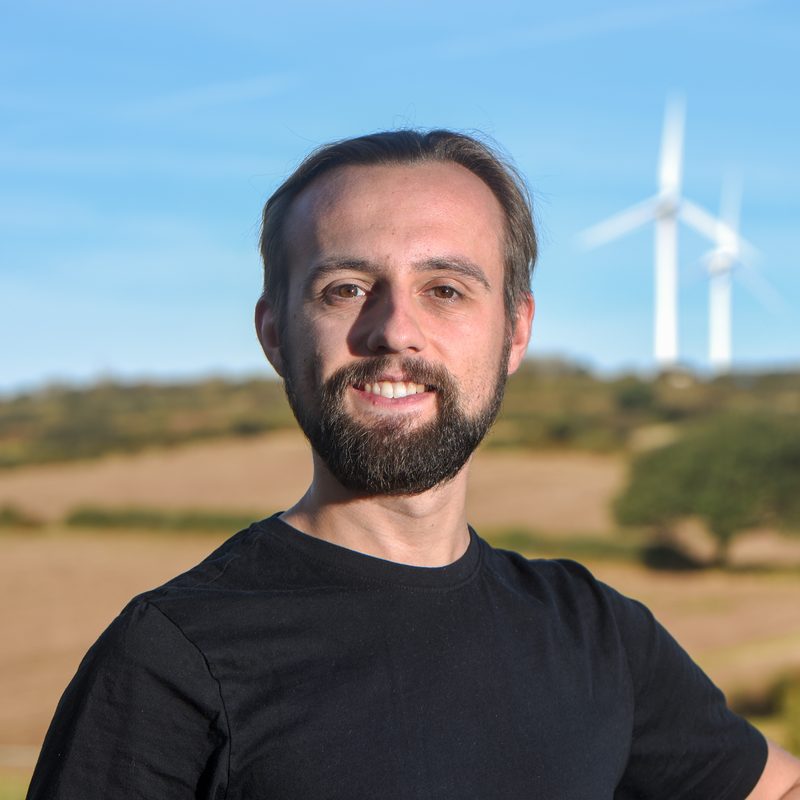
Leads data engineering at Aspia. First-class BSc and MSc in Astrophysics. Builds generative and agentic AI for Earth Observation.
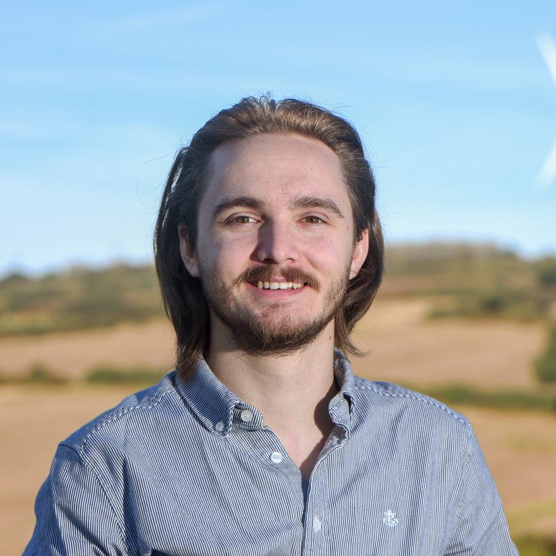
PhD Astrophysics (Lancashire). Turns SAR and optical-IR satellite data into products, from AI model design to cloud data pipelines.
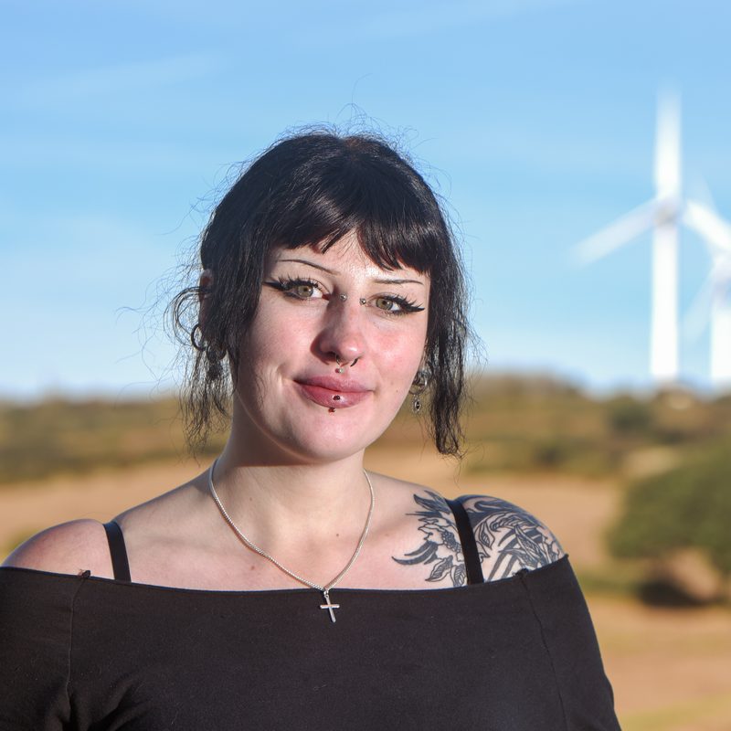
BSc Psychology (Southampton). Northcoders-trained in data pipelines, database design and cloud. Former SPSS specialist at Truro College.
Interested in investing in Aspia? Leave your details and a member of the board will be in touch.
Loading form… If it doesn’t appear, email contact@aspiaspace.com.